Asset and Vehicle Tracking
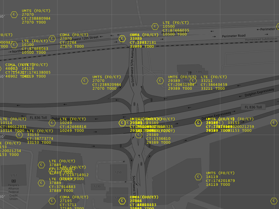
Limelight XE™ directly supports mapping of objects to geophysical locations which allows objects to mapped in real time onto either the console main map or display wall maps (see mapping controls). If your data comes from an external database, you can easily map the table column names to the correct internal names and instantly see your objects displayed on the console or display wall maps. This feature also allows high density data to only display at higher zoom levels to prevent operator overload and improve visual clarity.
Additional drivers are provided to inject location and other data from industry standard sources such as ADS-B or AIS receivers, OSM client protocols and Sensata Xirgo® vehicle trackers, internal objects and more. Each major object type is managed by a layer which is highly customizable.
Location and state history can be stored in database tables for as long as required depending on available storage. The history view allows the user to look back into specific periods of where an object was reported and its state (e.g., speed, heading, etc.). The data can also be exported into text or CSV format for further analysis.
See the markets page for more details.