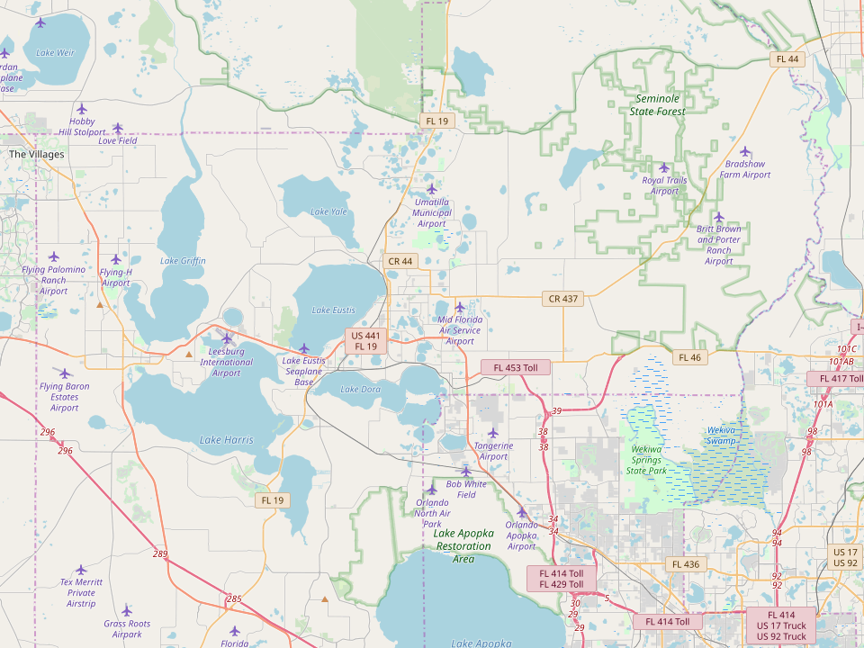

Mapping Controls
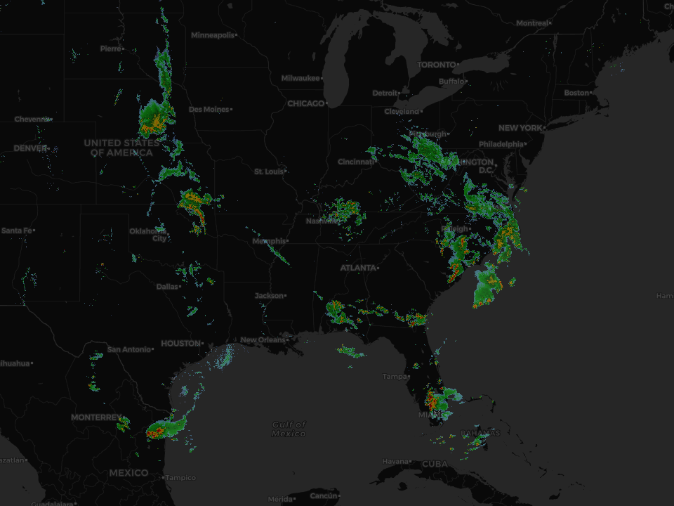
The mapping controls suite includes a base map container and several overlay controls that can be "dropped" onto the base map. Both the base map and map overlay controls use industry standard 256 x 256 pixel map tiles provided by many public and paid service tile servers. The overlays use transparency so they can be layered one over another allowing the designer to select which data has priority (top layer is always visible). In the gallery above, the map with both weather and aircraft is rendered this way - the object tracking layer is on top.
Tiles are locally cached so following the initial load whether from a remote or local tile server, the maps are rendered from cache providing almost instantaneous performance. Zoom levels are only limited by the tile source and are kept indefinitely until the cache is cleared.
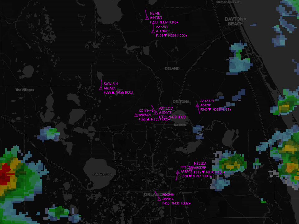
The object tracking overlay has over 35 properties and 6 object classifier configurations to provide clarity when rendering large amounts of information. Each object is assigned a glyph, identifiers and coded altitude, speed and heading (see image of aircraft classifier below)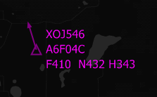
As shown in the example to the left, the aircraft identifiers are XOJ546 (flight number) and A6F04C (ICAO 24 bit identifier), altitude F410 (41000 feet), speed N432 (432 knots) and heading H343 (343 degrees). All objects that are mobile contain the last line. Static objects such as cell towers only have identification information. Animalia (which includes humans) can be tracked as well and have the same information with custom identifiers based on the application.
Any combination of objects can be rendered on a single object tracking layer. Layers can be any color and the classifier glyph has 6 options to prevent confusion when tracking multiple objects. An optional heading arrow can be drawn (as shown) to indicate direction (only applies to mobile objects).
Tracking data is pulled from the object tracking database table based on the geographical corners of the current view (pan and zoom level). It is updated periodically based on the polling setting (1 second increments). Only objects that change are exchanged with the client to control bandwidth when tracking large numbers of objects (e.g. a fleet of trucks, heads of cattle, employees, etc.). If you can obtain the location of any object, it can be tracked with this control. Additionally, the control provides mouse and touch capability to help quickly access information on any visible object. This can be done automatically with the addition of a text block (to hold the data) or manually via other information sources based on the object's identifiers. Out of the box these controls can quickly build a dynamic map wall and track your assets.